Skip to main content Skip to footer

Overview

The urban area of Bad Homburg vor der Höhe stretches from the highlands of the Taunus to the Wetterau. The settlement area includes the culturally and historically significant quarters around the Kurpark and Kaiser-Friedrich-Promenade as well as the more rural district of Ober-Erlenbach.

Equally characteristic is the juxtaposition of high-quality landscape, open space and urban structures on the one hand and the not inconsiderable burdens and hazards caused by the massive and currently continuing demand for settlement, transport and other infrastructure areas on the other. The conflicts arising from this demand situation are typical of numerous municipalities in the prospering Rhine-Main region and are all the more relevant in a town as attractive as Bad Homburg v. d. Höhe. This makes it all the more important to preserve and develop nature and the landscape in a targeted manner in order to ensure the quality of living and recreation for the town's residents in the long term.

The main objective of this landscape and open space development concept is to present a concept of objectives and measures tailored to the requirements and needs of the city on the basis of a survey, analysis and evaluation of the existing situation. The landscape and open space development concept is divided into three task areas, which are also expressed in three corresponding sets of maps.

1. Inventory and assessment

As part of task area I (inventory, assessment and conflict analysis), six protected assets - climate/air, water, soil/geotopes, species, biotopes/habitats, landscape - as well as open spaces in the urban area are recorded and assessed on the basis of existing or newly collected data and presented in separate maps. The assessment is based on the objectives of Section 1 of the Federal Nature Conservation Act (BNatSchG). All protected assets were assessed with regard to each of the following three target dimensions of the Act:

  1. Natural and cultural heritage
  2. Performance and functionality of the ecosystem/material-physical functions
  3. Experience and perception of nature and landscape, including landscape-based recreation

2. Guiding principles and objectives

An integrated concept of objectives and measures was developed on the basis of the assessment of the individual protected assets and areas. At the same time, a model was drawn up for the entire urban area, which schematically shows the long-term landscape planning perspectives for Bad Homburg ("Perspectives for landscape and open space development").

Analogous to the inventory profiles, guiding principles in the form of a future target state were developed for the 20 landscape areas and for the urban areas grouped into 26 urban structure types.

The target concept distinguishes between three categories:

Target category I:
Areas whose characteristics already correspond to the objectives and which must be preserved and safeguarded

Target category II:
Significant areas and spaces with development potential

Target category III:
Further areas for which general basic requirements are to be implemented

The green corridors along the streams are of outstanding importance for Bad Homburg. They fulfill several important functions for Bad Homburg, they are a recreational and biotope network and also a conduit for cold air and regional winds.

In addition to the development of the recreational network, the objectives of biotope and species protection (e.g. through ecologically diverse vegetation structures) and the preservation of climatic functions (above all air conduits for thermally induced cold air, ventilation areas for regional winds) should also be taken into account, e.g. by keeping them free from further development.

It is not only the green corridors that are relevant to the quality of Bad Homburg's open spaces; specific conservation and development objectives are also formulated for the open spaces in the settlement context on the basis of the urban structure type mapping. See Urban spaces and urban structure types.

Spatially differentiated objectives are also proposed for outdoor areas: near-natural watercourse development, conservation of grassland and, where possible and appropriate, (further) extensive cultivation of meadows. The arable landscapes on the fertile soils around Ober-Eschbach and Ober-Erlenbach should be preserved and supplemented by structural elements such as hedges, individual trees or orchards. These measures serve to protect species and promote biodiversity.

Urban spaces and urban structure types

The preservation of dead and old wood plays a major role as a habitat in Bad Homburg's forests. These measures are to be integrated into the overall management of the forests, as is the development of near-natural forest communities. In addition, in selected areas (e.g. spring areas or sites close to watercourses), the decommissioning of forestry use is also an objective. With regard to the recreational value of the forest landscape, it is important to create varied woodland patterns and stepped forest edges.

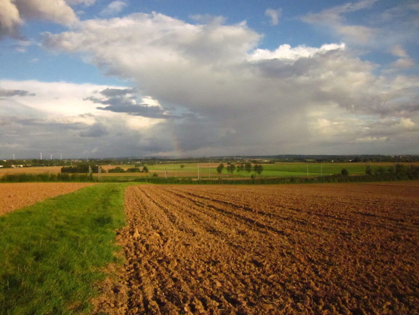
Flower-rich edges fulfill important functions for the protection of species and biotopes and for the experience and perception of nature and landscape, both in the forest and in open land. In the area of large-scale arable farming, these functions are fulfilled by roadside verges, field margins and small areas with grassy and herbaceous vegetation, which need to be preserved and newly created.

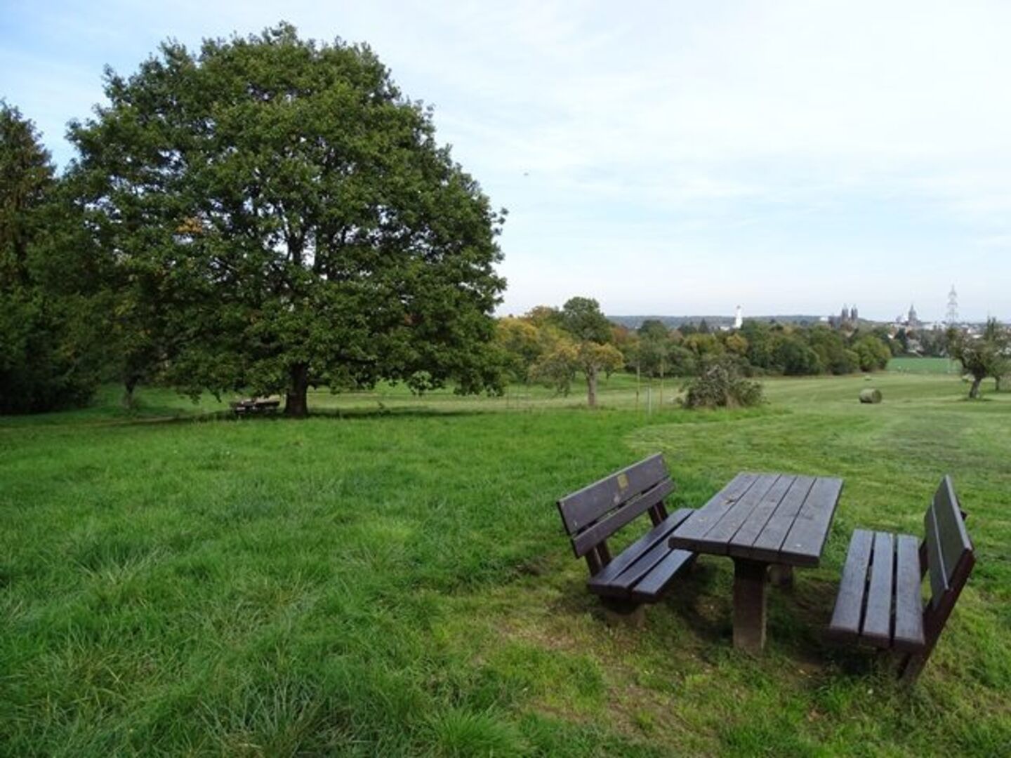
Promoting the recreational quality of the landscape is also of great importance. In addition to the natural and biotope-related features, cultural-historical elements and areas (e.g. excursion destinations, architectural monuments such as the Saalburg or the Limes) and suitable connecting routes (in particular the regional park route) also play a major role.

For the watercourses themselves and in the flood protection areas, the main focus is on conservation and near-natural structural development.

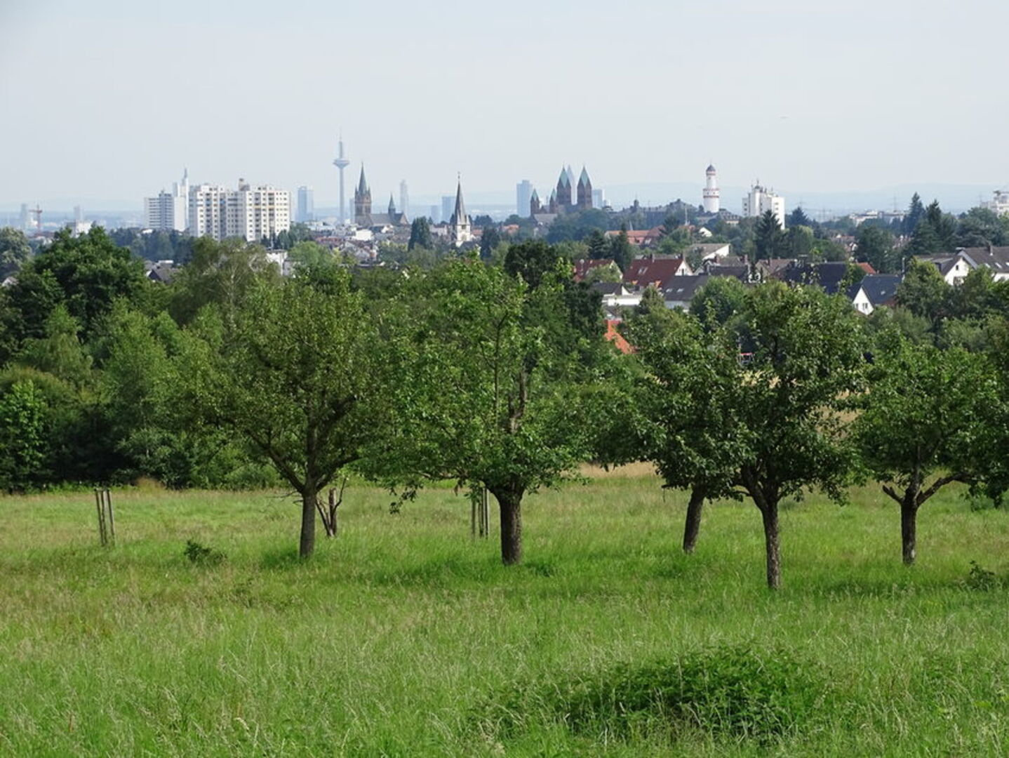
In the open spaces adjacent to the streams, the preservation and development of the open space functions (e.g. through high-quality design and proper maintenance) are the most important objectives. In terms of a recreational network, the connection of existing open spaces is important (e.g. through accessibility and continuity of allotment gardens, sports facilities and cemeteries, creation of new attractive path connections, upgrading of existing connections through roadside greenery, façade greening, traffic calming, etc.). The peripheral areas are particularly important as a transition between settlement and landscape.

3. Instruments for implementation

In preparation for the implementation of all these objectives and measures, three topic-related plan maps were created.

For the subject area of municipal urban land-use planning, recommendations for the use of land for construction are given within a buffer of 500 meters around the edge of the settlement from the perspective of "nature and landscape". A distinction is made between three graded categories that reflect the existing conflict potential in each case.

In the implementation map for nature conservation management, legally protected biotopes in accordance with Section 30 BNatSchG or Section 13 (1) HAGBNatSchG (Hessian Implementation Act for the BNatSchG) as well as the habitat types in accordance with Annex I of the Habitats Directive are shown. Proposals for the designation of four protected landscape features are also presented. Where data was available, the occurrence of strictly protected animal species for whose conservation the city bears a special responsibility is presented.

Finally, a further map is aimed at the municipality itself, beyond the instruments of urban land-use planning. Here, areas were identified where targeted open space and landscape planning development makes particular sense.

Please feel free to contact us
Umwelt- und Landschaftplanung
Our address
Magistrat der Stadt Bad Homburg v. d. Höhe
Technisches Rathaus
Bahnhofstraße 16-18
61352 Bad Homburg v. d. Höhe
Our address
Magistrat der Stadt Bad Homburg v. d. Höhe
Stadtverwaltung
61343 Bad Homburg v.d.Höhe
Our opening hours

PERSÖNLICHE BERATUNG NUR MIT TERMIN 


Bitte setzen Sie sich mit der Fachabteilung in Verbindung.

Doris Klenk
Leitung Umwelt- und Landschaftsplanung