Skip to main content Skip to footer

Overview

The town of Bad Homburg vor der Höhe is located in the Taunus mountains. It extends as far as the Wetterau. The town has many important places. These include the Kurpark and the Kaiser-Friedrich-Promenade. There is also the rural district of Ober-Erlenbach.

There are landscapes, open spaces and urban structures. These are of high quality. There are also many burdens and hazards. Many people want settlement areas, traffic areas and other infrastructure areas. This demand is high. This leads to conflicts. These conflicts exist in many cities in the Rhine-Main region. They are particularly important in Bad Homburg v. d. Höhe. It is important to protect nature and the landscape. This keeps the town beautiful for people.

The aim of the landscape and open space development concept is important. There is an inventory. There are analyses and assessments. This results in a concept. The concept fits the city. There are three task areas. These are shown in three sets of maps.

1. Inventory and assessment

Section I deals with inventory, assessment and conflict analysis. Six protected assets are recorded and evaluated. These are climate and air, water, soil and geotopes, species, biotopes and habitats as well as landscape. Open spaces in the city are also considered. Existing or new data is used for this. The results are shown on separate maps. The assessment is based on the objectives of Section 1 of the Federal Nature Conservation Act. All protected assets were assessed according to three objectives:

  1. Natural and cultural heritage
  2. Performance and functions of nature
  3. Experience and perception of nature and landscape

2. Guiding principles and objectives

We have evaluated the protected assets and spaces. From this, we created a concept with goals and measures. At the same time, we created a model for the entire city. It shows the long-term plans for the landscape in Bad Homburg.

We have created mission statements for 20 landscape areas and 26 urban areas. These show what the spaces should look like in the future.

The target concept has three categories:

Target category I:
Areas that already meet the objectives. We must preserve these areas.

Target category II:
Important areas with development potential.

Target category III:
Other areas that should fulfill basic requirements.

The green corridors along the streams are very important for Bad Homburg. They have many functions. They are recreational areas and connect habitats. They also channel cold air and winds.

We want to develop the recreational network. We also want to protect the habitats and species. The climatic functions should be preserved. This includes ensuring that cold air and winds can pass through easily. We do not want any new buildings in these areas.

The green corridors are important for the open spaces in Bad Homburg. The open spaces in the city are also important. The city has goals for conservation and development. These goals are based on the urban structure. More on this under urban spaces and urban structure types.

There are also goals for the outdoor area. The rivers should be close to nature. Meadows should remain green. The meadows should be cultivated less. The fields around Ober-Eschbach and Ober-Erlenbach should remain. Hedges, trees and fruit trees should be added. These measures protect the animals. They promote the diversity of nature.

Urban spaces and urban structure types

Old and dead trees are important for animals in the Bad Homburg forest. The trees should remain throughout the forest. The forest should grow naturally. In some places, the forest should no longer be used. This is important at springs or near water, for example. The forest should look beautiful. This is important for people who want to relax in the forest.

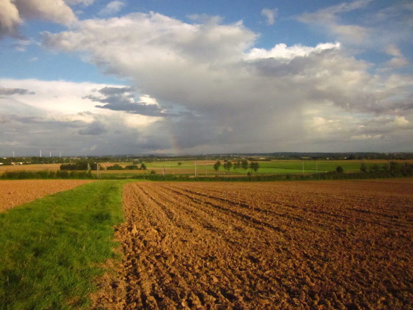
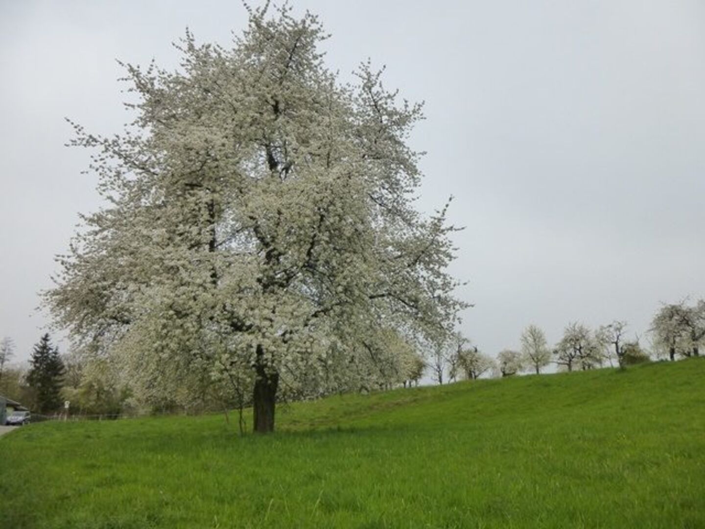
Flower-rich edges are important for animals and plants. They are also important for people who want to experience nature. In large fields, roadsides and small areas with grass and herbs are important. These areas should remain and new ones should be created.

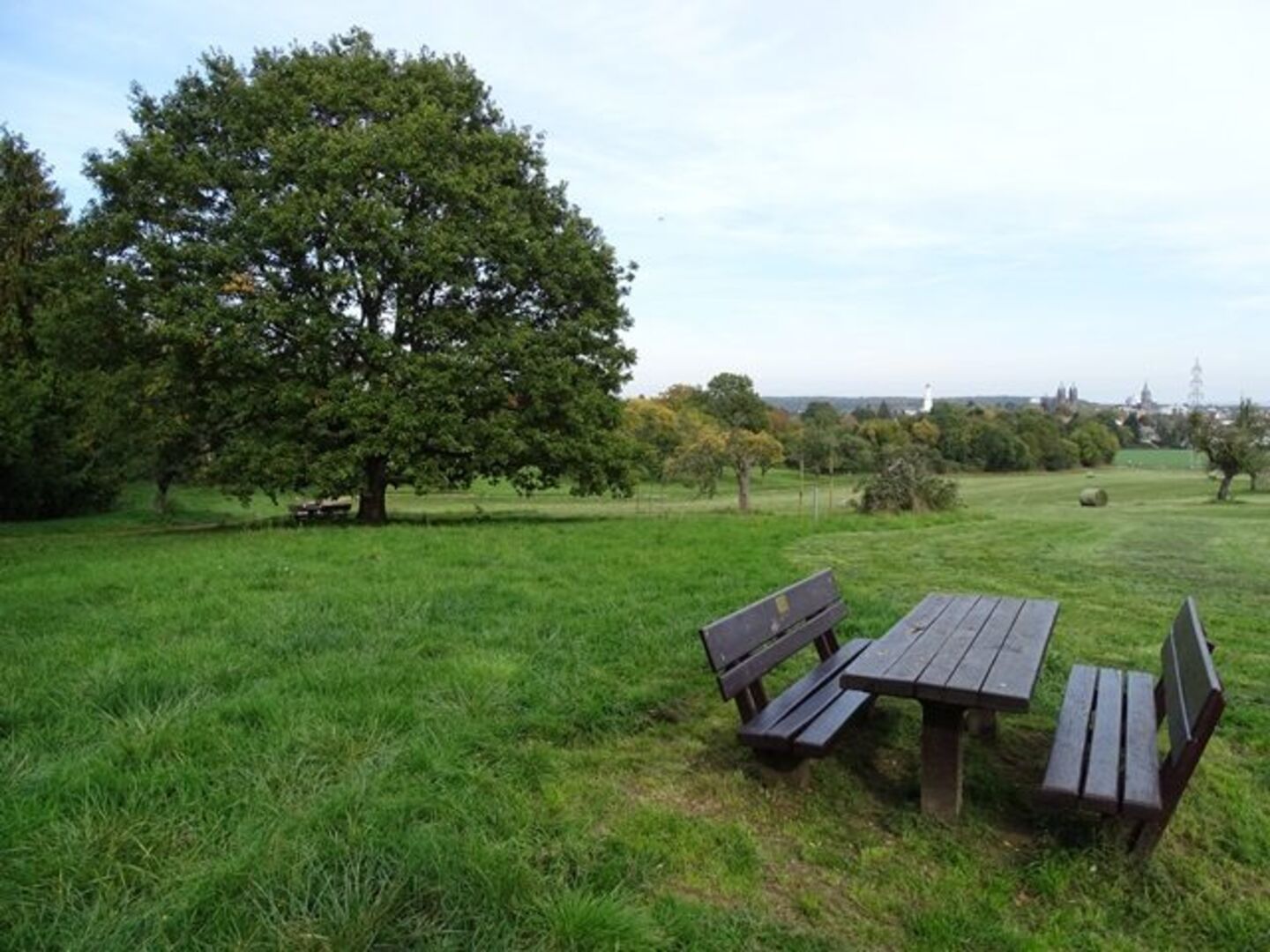
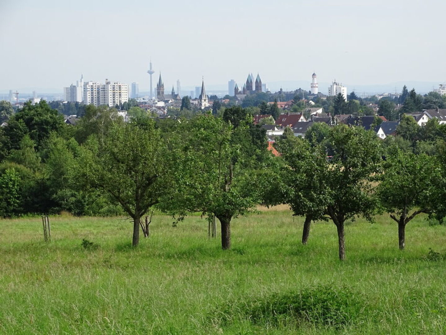
The landscape should be beautiful. This is important for recreation. Old buildings and excursion destinations are also important. Good paths are important. For example, the regional park route.

Rivers and areas that flood should remain natural.

In addition to streams, open spaces are important. These areas should be well designed and maintained. Open spaces should be connected. This is important for recreation. For example, through new paths or greenery along roads. The edges of places are also important. They are the transition between the city and nature.

3. Instruments for implementation

There are three plan maps on various topics to prepare for the implementation of all objectives and measures.

There are recommendations for the use of land in the area of municipal urban land-use planning. These recommendations apply within an area of 500 meters around the edge of the settlement. The focus is on the interests of nature and landscape. There are three categories. These show how great the potential for conflict is.

Biotopes are marked on the implementation map for nature conservation management. These biotopes are protected by law. This is stated in § 30 BNatSchG or in § 13 para. 1 HAGBNatSchG. Habitat types from Annex I of the Habitats Directive are also shown. There are proposals for four protected landscape elements. Where data is available, strictly protected animal species are also shown. The city has a special responsibility for these animals.

Another map is for the municipality itself. This map is not for land-use planning. Areas are marked on this map. The development of open spaces or landscapes makes particular sense in these areas.

Please feel free to contact us
Umwelt- und Landschaftplanung
Our address
Magistrat der Stadt Bad Homburg v. d. Höhe
Technisches Rathaus
Bahnhofstraße 16-18
61352 Bad Homburg v. d. Höhe
Our address
Magistrat der Stadt Bad Homburg v. d. Höhe
Stadtverwaltung
61343 Bad Homburg v.d.Höhe
Our opening hours

PERSÖNLICHE BERATUNG NUR MIT TERMIN 


Bitte setzen Sie sich mit der Fachabteilung in Verbindung.

Doris Klenk
Leitung Umwelt- und Landschaftsplanung